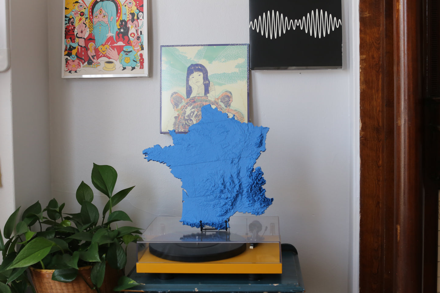
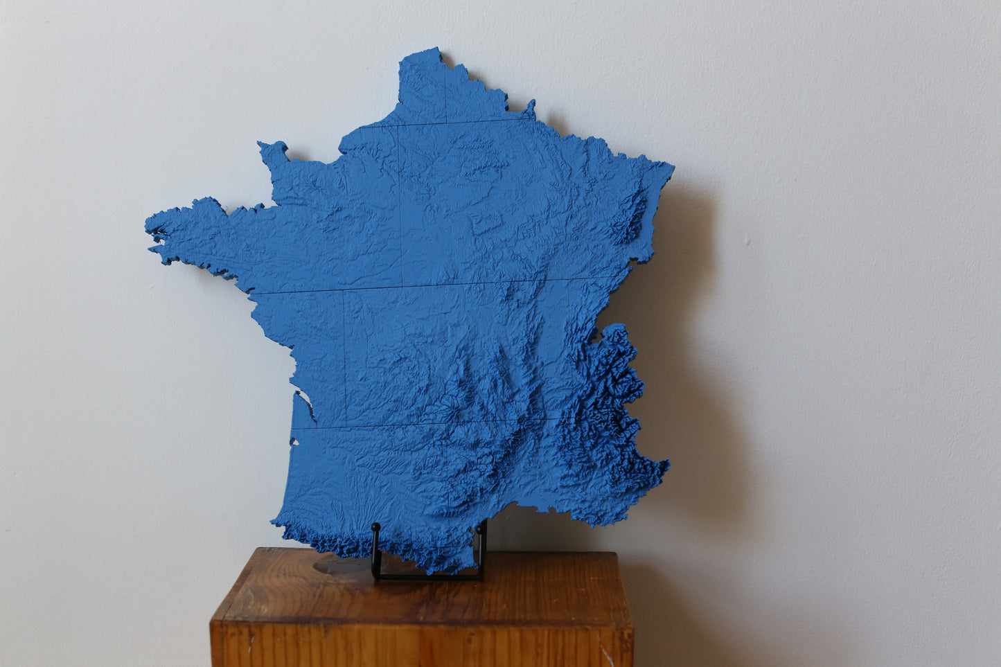
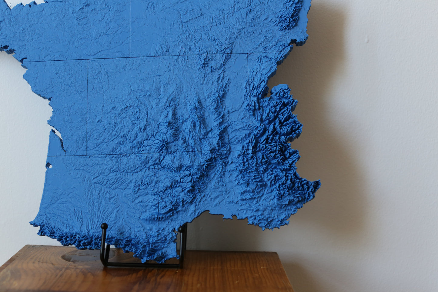
Experience the geographic richness of France with our elegantly rendered 3D topographic map. From the snow-dusted Alps to the serene valleys of the Loire and the coastal beauty of Brittany, this map showcases the nation's diverse terrain with impressive accuracy. Perfect for Francophiles, travelers, or educators, it’s more than wall art—it’s a beautifully crafted homage to a country known for both natural and cultural sophistication. Let it transport you to the heart of the French landscape with every glance.