Latitude Maps
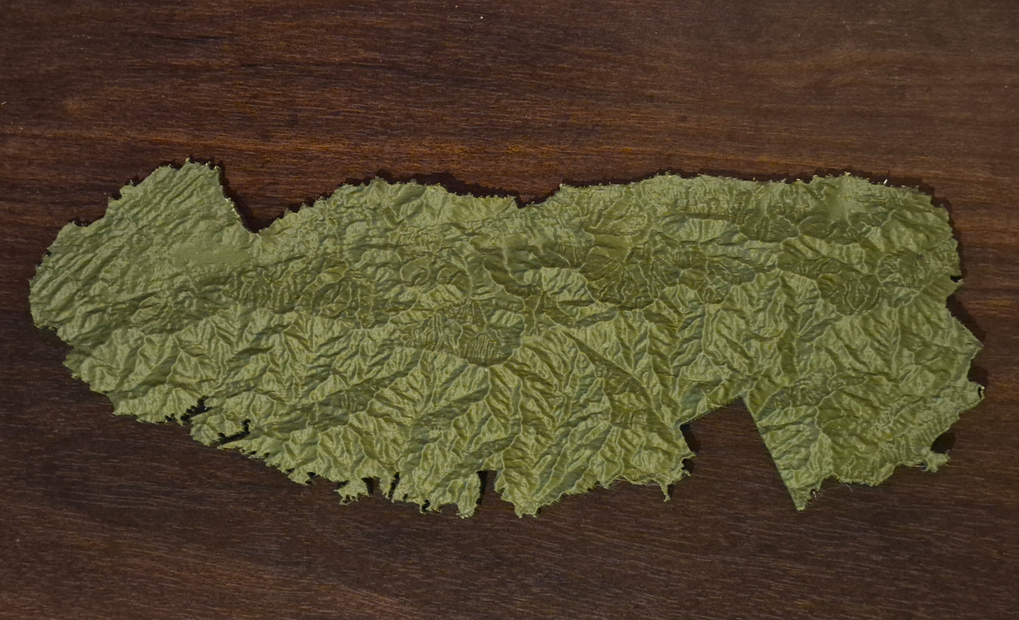
Great Smoky Mountains - 3D Printed Topographic Map
Great Smoky Mountains - 3D Printed Topographic Map
Couldn't load pickup availability
Step into one of America’s most treasured landscapes with our 3D printed topographic map of Great Smoky Mountains National Park. Spanning a vast stretch of the Southern Appalachians, this piece captures the park’s flowing ridgelines, deep hollows, and layered peaks that fade into the distance like waves. Trace the ancient contours shaped over hundreds of millions of years, from broad valleys to some of the highest summits in the eastern United States. Rich in both natural beauty and cultural history, this map reflects the quiet grandeur and timeless character of the Smokies. Perfect for hikers, conservationists, or anyone inspired by these mist-covered mountains, it’s a striking tribute to a landscape unlike any other.
20'' x 7''
Share