Latitude Maps
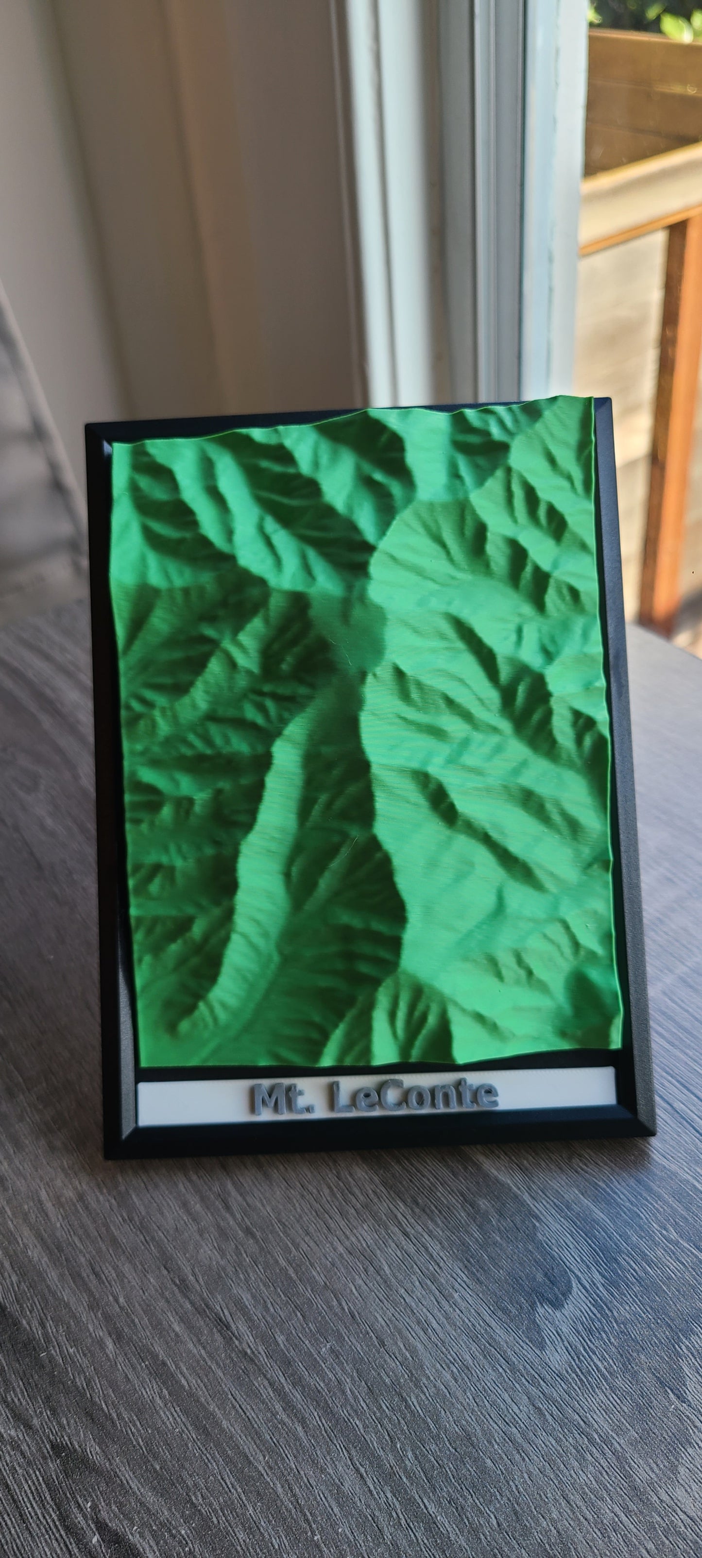
Mt. LeConte - 3D Printed Topographic Map
Mt. LeConte - 3D Printed Topographic Map
Couldn't load pickup availability
Explore one of the most iconic high peaks of the Southern Appalachians with our 3D printed topographic map of Mount LeConte in the Great Smoky Mountains. Rising prominently above deep forested valleys, this storied summit showcases some of the park’s most dramatic elevation changes. Trace the steep ridges, narrow hollows, and cascading drainages that define the mountain’s rugged character, shaped by ancient geology and relentless weather. From its lofty crest to the surrounding slopes, Mount LeConte reflects the wild, enduring spirit of the Smokies. Perfect for hikers, mountaineers, or admirers of Appalachian landscapes, this piece captures the bold relief and timeless beauty of one of the region’s most celebrated peaks.
Share